Buying a commercial property usually means ordering an ALTA/NSPS Land Title Survey. The order form then asks you to choose from a list called Table A. Those choices decide what the surveyor measures, researches and shows on the final map. The best approach is to request the items your lender, title company and deal actually call for, plus the ones that match real conditions on the site.
ALTA survey requirements come in two layers. The first layer is the set of minimum standards that every ALTA survey has to meet. The second layer is Table A, a menu of optional extras such as flood zone data, building measurements and utility locations. The current version took effect on February 23, 2026. A good list for a commercial deal usually draws on three sources. Those are the lender’s instructions, the title commitment and the conditions on the ground.
Start With What the Transaction Actually Needs
Start by finding out who will rely on the survey and what each of them requires. Your lender often lists the Table A items it wants in its loan instructions or closing checklist. The title company may ask for certain items before it will give broader coverage on survey matters. Your attorney may want zoning or access details that help with contract review.
Collect these lists before you call the surveyor. Lenders don’t all ask for the same items, so a list from your last deal may not fit this one. Many companies also built their order forms under the 2021 standards. The 2026 version added a new Item 20, and that change bumped the numbers of the items after it. An old template can point to the wrong item without anyone noticing.
Put the lists side by side once you have them. Where two parties ask for the same item, you only order it once. Where one party asks for something the others skip, find out why before you cut it, since that request may tie back to a loan condition.
Match Table A Items to the Property’s Risk Areas
After the required items, choose extras that answer real questions about the site. Each Table A item adds time and cost, so tie every request to a question you need answered. These are some common choices and the reasons buyers request them:
- Flood zone classification falls under Item 3. It helps when the parcel sits near a river, the shoreline or a low area.
- Buyers who plan grading, paving or an addition often want Item 5, which adds contours or spot elevations.
- Items 6(a) and 6(b) let the surveyor show setback, height and floor space limits, but only from zoning information you supply.
- Building dimensions, square footage and height come under Item 7. That data can support lease terms or a zoning check.
- If you plan new service lines or site work, Item 11 adds utility information.
- The new Item 20 asks the surveyor to list potential encroachments in a summary table, without giving a legal opinion on ownership.
Skip items that don’t connect to a real concern. For example, there’s little reason to pay for earthwork evidence on a stable site with no recent construction. A tighter list also keeps the final map easier for your lender and attorney to review.
Commercial Properties May Need Different Details
Two commercial deals can call for very different Table A lists. The right mix shifts with the building, the land, the access and your plans. Connecticut has 169 towns, and each one sets its own zoning rules. A zoning item that is simple in one town can take more work in the next.
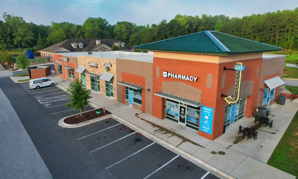
Property type matters too. An old mill building along a river may call for flood zone data and detailed building measurements. Retail plazas bring a different set of questions, since shared driveways and cross-parking put access and easements at the center of the review. Shoreline parcels near Long Island Sound raise flood questions early. On a vacant lot headed for new construction, elevation and utility items tend to matter more than building measurements.
State rules can also shape the job. Connecticut surveyors work under the state’s own minimum standards for surveys and maps. The 2026 ALTA standards note that state law or local rules can sometimes require an item that Table A lists as optional. Ask your surveyor early whether any Connecticut rule changes what your survey needs to show.
Review Off-Site Rights Before Finalizing Table A
Table A Item 18 lets you ask the surveyor to show plottable easements outside your property that benefit it. These are often called appurtenant easements. A common example is a right to use a neighbor’s driveway to reach your parking lot. Another is a right to park in a shared lot next door.
Before you add Item 18 to your order, look at how far those rights reach. ALTA warns that long access routes or large shared parking areas can expand the work a great deal. A surveyor who has to trace an access road across several parcels needs more research, more fieldwork and more time. That extra effort shows up in the fee and the schedule.
Pull the off-site rights from your title commitment and decide which ones matter to the deal. Sometimes you need the full route mapped. Other times you only need to see where the easement meets your property. Connecticut keeps land records in each town clerk’s office. An easement that crosses a town line can mean searching records in more than one town, so give your surveyor time to plan for it.
Confirm the Final Table A Scope Before Fieldwork
Settle the final list in writing before the field crew goes out. The 2026 standards let the client and surveyor negotiate the exact wording and fee for each selected item. The standards also require the survey to explain any item the parties changed or added. A clear written scope keeps every party working from the same list.
Table A also allows custom requests. Item 21 covers extra work the other items don’t address, with each request labeled 21(a), 21(b) and so on. Lenders sometimes use this space for a special certification or a site feature the standard list misses.
Send the title commitment and recorded documents to your surveyor as early as you can. Make sure the order references the 2026 standards. Changes after fieldwork usually cost more and push back the delivery date. If your closing date is close, raise the Table A list in your first conversation with the surveyor.
Frequently Asked Questions
Do I need to request every Table A item on an ALTA survey?
No. Every item in Table A is optional, so you only order what your deal and property call for. Asking for all of them can raise the cost and slow delivery without giving you useful information.
Can a lender specify which Table A items it wants?
Yes, and many lenders do. The lender’s list often appears in the loan instructions or the closing checklist. Get that list before you finalize the survey order so the surveyor can price and plan the full job.
Can Table A requests change the cost of an ALTA survey?
They can. A simple item like flood zone classification usually adds far less than mapping a long off-site access easement. Ask your surveyor to price each item separately so you can see where the cost comes from.