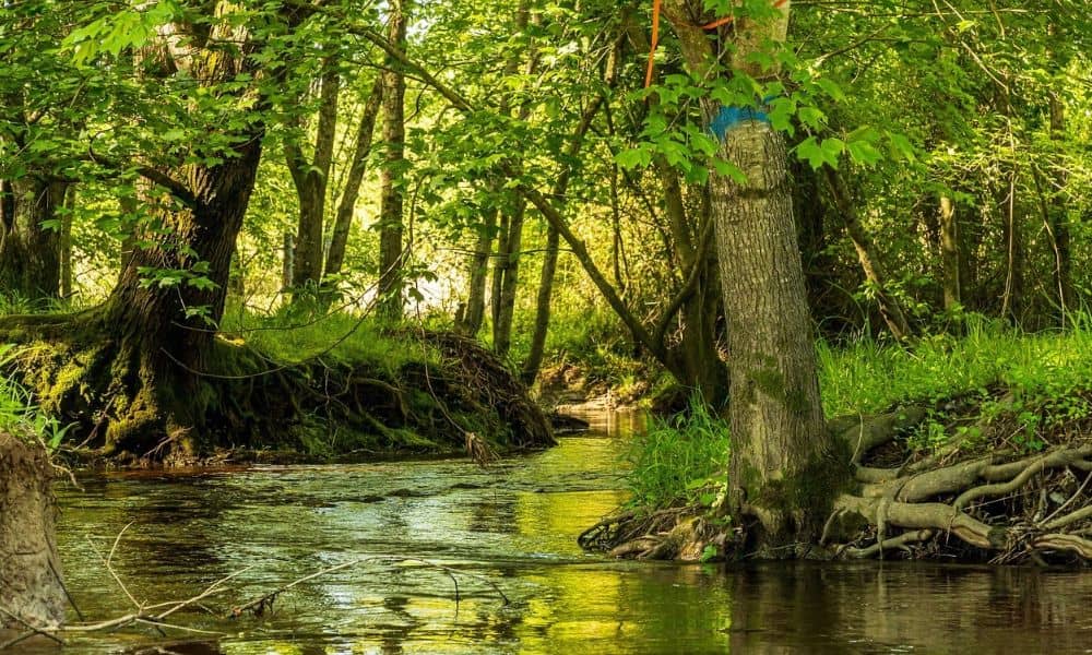
A small brook at the back of a lot can shape a whole project. Before you plan a driveway, an addition or a storm pipe, the people who review your plans will want to know where the water’s normal high edge sits. Survey mapping answers that question. A surveyor measures the line on the ground and draws it on a map with exact points and heights.
That line matters most during environmental review. Town, state and federal reviewers use it to decide where their water rules start. In most cases it doesn’t mark where your land ends. Your deed and a boundary survey decide who owns what.
How Survey Mapping Locates Ordinary High Water Marks
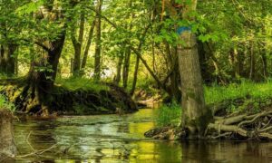
A surveyor finds the ordinary high water mark by measuring signs on the bank of a stream or pond. This mark shows the level that water reaches often enough to leave clear traces on the shore. It shows normal high water, not a rare flood.
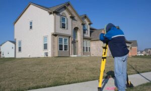
A wetland expert often walks the bank first. This person finds the line and marks it with small numbered flags. The surveyor then measures each flag with GPS or other survey tools and records where it sits and how high it is.
Those points go on a topographic map, which shows the shape and height of the land. The surveyor connects the points into one line. State road permit plans work in a similar way. A Connecticut DOT sample permit plan shows wetland limits and the ordinary high water line in bold, next to FEMA flood limits and the floodway when those exist.
What Field Evidence Helps Establish the High Water Line
The bank itself holds the evidence. Moving water leaves a pattern behind, and experts look for the spot where several clues match. Common signs include:
- A clear line pressed into the bank
- A small ledge or a quick change in how steep the bank looks
- A change in soil color or feel
- Land plants that stop growing at a certain height
- A row of leaves, sticks or trash left by past high water
- New mud or sand, or stains on rocks and walls
One clue alone isn’t enough. Experts check both sides of the stream and look at several spots along it. A line based on just one mark could miss the real pattern.
Some sites make the job harder. In older parts of a city, fill dirt, walls and pipes can cover or erase the natural marks. Snow and fallen leaves can also hide clues for part of the year. When the signs are weak, the team may need more visits or more points before they can place the line with confidence.
How High Water Mapping Supports Environmental Review
Reviewers need a clear starting line, and the mapped high water mark gives them one. They use it to see where the rules begin and how close your work comes to the water. Without it, nobody can measure those distances well.
Federal rules use this line directly. For inland water, the U.S. Army Corps of Engineers starts its rules at the ordinary high water mark when no wetlands sit next to the water. When wetlands do sit next to it, the rules reach out to the edge of those wetlands. Local rules can use the line too. Some towns measure their review areas out from the ordinary high water mark of certain streams.
Each community sets its own distances. For a site, ask the city’s inland wetlands agency what applies to your land. Also ask about any state or federal office that may review the project. A clear high water line on your map gives all of them something solid to check.
Separating High Water Limits From Wetlands and Floodplains
The high water line, the wetland line and the floodplain each come from a different test. They can land in different places on the same lot. A good map shows all three and keeps them apart.
The high water line comes from marks on the bank. Connecticut draws wetland lines in a different way. State law defines inland wetlands by soil type, including soils that drain poorly or very poorly and soils that moving water left behind. A soil expert finds and flags this line. These wetlands don’t always look wet. State guidance says all floodplain soils count as wetlands, and some of them can be quite dry.
A floodplain shows land that a big flood could cover. FEMA flood maps show these areas, and they often reach well past the high water line. Water that rises and falls with the tide uses other lines. For coastal sites, Connecticut DOT asks plans to show the Coastal Jurisdiction Line, the High Tide Line and the average high water height. State rules set the Coastal Jurisdiction Line at the height of the highest predicted tide. Those lines follow different rules than the high water mark on an inland brook.
Using Mapped Water Boundaries in Site Planning and Permitting
A mapped water line helps your design team place buildings, grading and drain pipes using real distances. Nobody has to guess. Reviewers can also compare the map against their own rules.
Start by asking your surveyor to put the high water line, any wetland flags and the FEMA flood zone on one map. The map should list the fixed height system it uses and the date of the field work. Those two details help reviewers check the heights and see how current the map is.
Next, find out which offices will review the project and whether they need a signed and sealed map. Ask early. Field work may depend on the season and on when a wetland expert can visit.
Streams also change over time. One strong storm can wear away a bank or move a channel. If your map is a few years old, ask the reviewing office whether it will still accept it.
Frequently Asked Questions
Is the ordinary high water mark the same as my property line?
Usually not. The high water line shows where normal high water reaches the bank, and reviewers use it for water rules. Your deed and recorded maps decide what you own. Only a boundary survey can show where your property line falls.
Who decides where the high water line goes?
A few people share this job. A wetland expert often reads the bank and places flags. The surveyor measures the flags and maps them, and the reviewing office decides if it accepts the line.
Can the time of year change a high water survey?
Yes, it can. Snow, ice and leaves can cover the marks experts look for. Spring rains can also make a bank hard to reach, so talk with your surveyor about timing before you plan your permit dates.