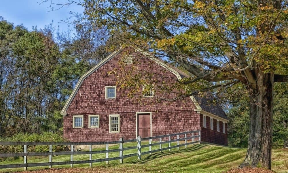
An old dairy barn. A closed orchard. A shut-down poultry farm. These properties come up for sale across Connecticut every year, often at prices that look like a great deal.
But buyers don’t always see the hidden problems. Boundary lines that don’t match. Access roads with no paperwork. Site conditions that make building harder than planned. These issues can turn a good deal into a costly one.
A due diligence survey catches these problems before you buy. It maps out the property lines, buildings, access points and ground conditions across the whole site, not just the parcel listed for sale.
If you’re looking at a former farm property for redevelopment, a survey done early gives you more power at the negotiating table. It also shows you what the land can really support.
Why Campus Parcel Assemblage Requires Early Survey Review
Closed farm properties rarely sit on just one parcel. Most farms grew over the years by buying up nearby fields, barns and access strips from other landowners.
When a developer wants to combine these parcels into one large site, whether for storage, light industry, solar panels or mixed use, the full boundary needs to be checked first. Old farm deeds often use vague wording like “to the stone wall” or “along the fence line.” These don’t always match today’s survey standards.
A due diligence survey done early can find:
- Gaps or overlaps between parcels next to each other
- Differences between the deed on paper and the actual markers on the ground
- Parcels that may need to be split again or merged through the town planning process
Skipping this step and jumping straight into design work often means redrawing site plans later. That costs time and money.
Reviewing Parcel Boundaries Across Multiple Connected Properties
Every parcel in a farm assemblage has its own survey history. That history matters once all the parcels become one project site.
A surveyor checking connected properties compares each deed against the others. They look at distances, directions and boundary markers. Farms built up over many sales sometimes have small land transfers that were never recorded, or fence lines that were moved but never fixed on paper. These problems stay hidden until a survey brings them to light.
The review also shows which roads, farm lanes and utility lines cross more than one parcel. A gravel driveway used by three parcels might rest on nothing more than an old handshake deal, not a real easement. Connecticut towns usually want clear, documented access before they approve new development. Finding this out early beats finding it out during permitting.
Buyers and lenders should ask a clear question: does the survey cover every parcel in the assemblage, or just the one currently under contract?
Identifying Site Conditions That Affect Future Development Plans
Boundaries are only half the story. A due diligence survey also records the physical and natural conditions that shape what can actually be built.
For old farmland, this often includes:
- Slopes and grading, since farm fields often have gentle slopes that affect drainage
- Wetlands and streams, which are common on farmland and trigger extra state and local review
- Old buildings like barns, silos or sheds that may need to come down or be reused
- Soil conditions shaped by years of farming, which can affect how a building’s foundation is designed
- Floodplain areas, especially near the rivers and streams found throughout the state
None of these things are automatic legal requirements. They can change based on the town, the size of the project, and sometimes the lender or title company. A survey shows where these conditions exist so the design team can plan around them, not stumble onto them during construction.
Coordinating Survey Data With Design and Development Teams
Survey data only helps if it reaches the people making design choices. On a campus assemblage project, that means architects, engineers, environmental consultants and town planning staff all need the same base information.
Ask your surveyor for data your design team can actually use. That might be a digital CAD file, a topographic base map, or a boundary survey tied to state plane coordinates. Passing around a scanned PDF slows everyone down and raises the odds of mistakes carrying into construction drawings.
Coordination works best when it starts before design begins, not after a site plan is already drawn up. Early talks between the surveyor and design team catch conflicts, like a building footprint crossing an unresolved boundary line, while they’re still cheap and easy to fix.
For projects with several design firms involved, one person managing all survey files keeps everyone working from the same current version instead of an old draft.
Reducing Acquisition and Construction Risks Before Campus Expansion
The cost of a due diligence survey is small next to the cost of finding a boundary dispute after closing, or an easement conflict in the middle of construction.
Before you finish buying the property or start design work for a campus expansion, check these points with your surveyor and legal team:
- Every parcel in the assemblage has been surveyed, not just the ones currently for sale
- Recorded easements, rights-of-way and access agreements have been found and mapped
- Site conditions tied to drainage, wetlands or flood zones have been identified
- Survey data has been shared with your design and engineering team in a usable format
- Any unresolved boundary or title issues have been fixed with the seller before closing
Survey requirements can change based on property type, town, county and lender. Confirm exactly what you need with your title company and local land use office early on. Building this check into your buying timeline, instead of treating it as a last-minute step, protects your permitting and construction schedule later.
Frequently Asked Questions
What does a due diligence survey evaluate during a campus parcel assemblage?
It checks property boundaries, easements, access points, existing buildings and site conditions across every parcel being combined into the project. The goal is a full, verified picture of the site before design begins.
Why do developers review multiple parcels before combining them into one project site?
Each parcel has its own deed history and boundary record. Reviewing them all together catches gaps, overlaps or access problems that might not show up if each parcel were checked alone.
Can a due diligence survey identify issues between neighboring parcels?
Yes. Surveys often find fence lines that don’t match recorded boundaries, buildings that cross onto another parcel, and shared driveways or access points that were never put in writing.