A geothermal well field disappears once the job is done. The boreholes run far below grass, pavement or a building pad, and nobody sees them again. Construction staking puts each borehole where the design says it belongs before the drill rig rolls in.
That step matters even more on a tight site. New Haven has started work on a geothermal network that will heat and cool Union Station and new public housing across the street, and Yale began building a geothermal system on Science Hill. Closed-loop systems like these can be harder to fit on dense city sites. Every borehole has to share space with utilities, roads and buildings.
A good rule covers most projects. Stake the well field only from the current approved layout. Clear conflicts on paper first, then tie every point to the same survey control the rest of the site uses.
Confirm the Well Field Fits the Current Site Plan
The surveyor should stake from a well field layout that matches the latest site plan. A mechanical engineer or geothermal designer often draws the well field. The civil engineer draws the site plan. When those two sets fall out of step, a borehole can end up under a new curb line or a moved building corner.
Before any field work, the surveyor compares both sets. They check revision dates and the coordinate system each drawing uses. A layout drawn on a different grid can look right on paper and still land in the wrong place outside.
Spacing counts too. The designer sets the distance between boreholes so the ground around each hole can hold and release heat without crowding the next one. The surveyor doesn’t change that spacing. If the field needs to shift or shrink to fit the site, the design team should make that call and issue a revised plan.
Resolve Borehole Conflicts Before Stakes Reach the Ground
The best time to fix a borehole conflict is before anyone sets a stake. Moving a point on paper takes minutes. Moving a drill rig after it starts a hole can stall the job for days.
The survey and design teams should review the layout against items like these:
- Existing underground utilities, such as water, sewer, gas, storm drains and electric lines
- Overhead power lines that could limit a tall drill mast
- Easements and property lines near the edge of the field
- Building foundations, footings and retaining walls
- Trees the owner plans to keep
- Rig access routes and room for drilling mud and cuttings
Utility locates help, but they have limits. Connecticut’s one-call center, Call Before You Dig, takes locate requests through 811. Locate marks show roughly where a line runs. They don’t show its exact depth or a survey-grade position. A topographic survey with utility information can add detail, and some projects also dig test pits to see what’s below.
When the team finds a conflict, the designer should approve any move. A field crew shouldn’t slide a borehole a few feet on its own. That small shift can push it too close to another hole or under a future pad.
Stake Borehole Locations From Reliable Project Control
Project control is a set of fixed survey points with known coordinates and elevations. Every crew on the job measures from those same points. When the well field comes off the same control as the buildings, curbs and utilities, all the pieces fit together.
The surveyor typically sets a stake, hub or flagged pin at each borehole center. Each mark gets a label that matches the borehole ID on the plan. Clear labels help the drilling crew set up on the right hole and keep an accurate drilling log.
A center stake won’t last long once the rig sets up over it. For that reason, many surveyors also set offset stakes. An offset stake sits a measured distance away from the point, often along two lines, so a crew can find the center again without guessing. Offsets belong outside the rig’s working area.
Elevation may matter as well. Some designs tie header pipe depths or vault locations to finished grade. The surveyor can record ground elevations at each borehole when the plans call for them.
Protect Layout Accuracy Through Drilling and Site Disturbance
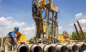
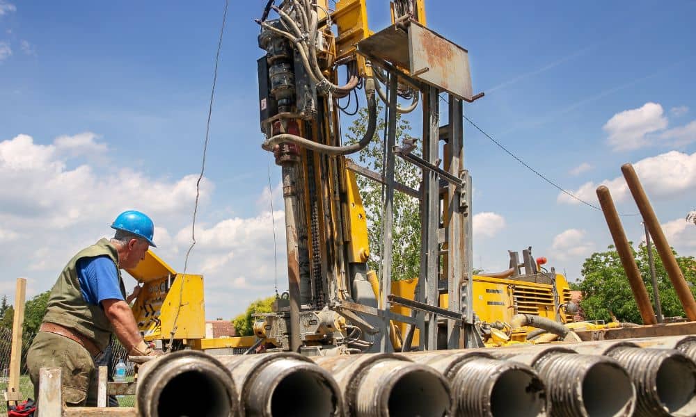
Drilling is hard on survey marks. Rigs, support trucks, water, drilling mud and cuttings move across the field all day. Equipment bumps stakes, buries them or pulls them loose.
Crews should protect what’s left. Flagging, lath and marking paint make stakes easier to spot. Control points need the same care, since every restake depends on them. A lost control point can force the surveyor to rebuild control before any more layout work happens.
When a borehole stake goes missing, the crew shouldn’t guess where it was. The surveyor can restake the point from control or from the offsets. A short return trip beats drilling a hole in the wrong spot.
Coordinate the Well Field With Final Site Construction
After drilling, crews trench header lines, set vaults and connect the loops to the building. Then paving, lawns, lights and walkways fill in the site. Once that work ends, the well field is out of sight for good.
An as-built survey helps here. The surveyor can locate the top of each finished borehole, the header routes and the vault positions before crews backfill. Those measured positions give the owner a record drawing of what’s actually in the ground.
That record pays off years later. A crew planting a tree, setting a fence post or adding a sign base can check the drawing before digging. Future utility work can steer around the loops too.
Final site staking should use the same control that placed the boreholes. Curbs, paving edges and building lines then match the well field below them. On a crowded urban site, shared control keeps one system from landing on top of another.
Frequently Asked Questions
Should geothermal boreholes be staked all at once or in phases?
It depends on the size of the field, the drilling order and how crews reach the site. A small field may work fine with one round of staking. Larger fields often go in rounds that stay a step ahead of the rig, which leaves fewer marks exposed to damage.
What happens if a geothermal borehole stake is disturbed?
The driller shouldn’t eyeball the old spot and keep going. The surveyor can reset the point from nearby offsets or from project control. Resetting the mark first keeps the spacing the designer intended.
Can GPS coordinates replace physical construction stakes for a geothermal field?
Coordinates can do part of the job. Some crews may work from GPS equipment, while others need a physical mark to set up over. The right method depends on required accuracy, the project’s control, site conditions and what the contractor can use in the field.